Improving Missouri’s I-70 with Sky Wave

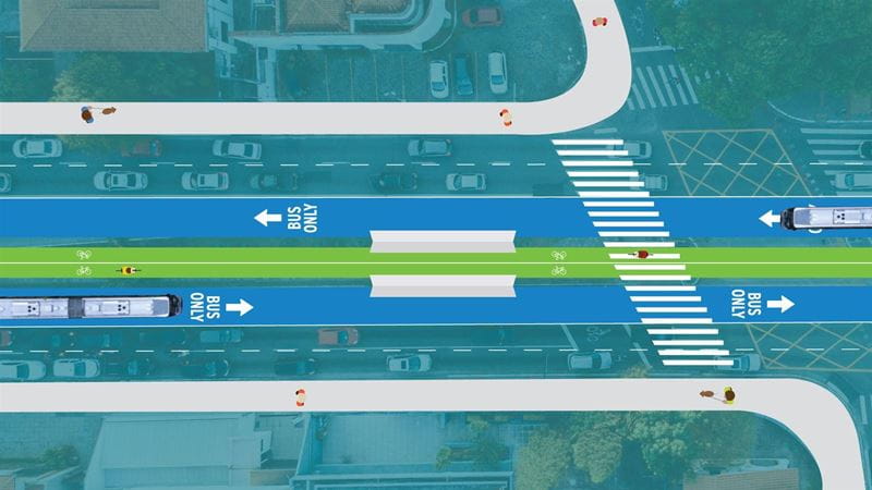
The state of Missouri is home to the nation's first interstate highway, breaking ground on I-70 in 1956 and solidifying itself as a pioneer in the use of state and federal funds for road construction. I-70 is a vital transportation corridor, carrying more rural daily traffic than any other route in the state. However, being the first interstate also makes it the oldest. Many parts of I-70 have become outdated and overburdened, leading to traffic congestion, safety concerns, and challenges in freight movement.
To address these issues, the Missouri General Assembly together with Governor Mike Parson, allocated $2.8 billion in General Revenue funds to plan, design, and construct an additional lane in each direction on nearly 200 miles of the interstate between Blue Springs and Wentzville. The updates may improve traffic flow and enhance safety while fostering economic growth through job creation.
“Like many DOTs across the country, MoDOT is dedicating time and resources to make infrastructure improvements, as design standards have changed over the years,” says transportation planning expert Davonna Moore. “CDM Smith’s project team leaned on its decades of project experience to deliver on MoDOT’s program goals of the corridor,” Moore adds.
what is sky wave?
Deploying Sky Wave technology to collect data and problem-solve
As MoDOT worked to advance the I-70 program, they encountered several significant challenges: timing constraints, data analysis complexities and context-sensitive considerations like mandatory environmental assessments.
“From the beginning stages of this project, MoDOT knew they wanted to leverage modern technology to keep the project on track and solve for some of their key challenges,” says project manager Barbara L. Wells, PE. “Working with MoDOT, we developed a plan that helped them best achieve their NEPA [National Environmental Policy Act] goals by implementing a suite of cutting-edge solutions,” she adds.
To overcome the challenges, MoDOT enlisted CDM Smith’s expertise to deploy its advanced Sky Wave technology, combining remote sensing tools like drones, high-resolution satellites, and LiDAR with machine learning to streamline environmental data collection. CDM Smith’s Sky Wave team created a comprehensive digital map of wetlands, streams, floodplains, across two project sections which allowed them to assess the site’s natural resources more efficiently.
As a result of this forward-thinking approach, the project team was able to safely map difficult-to-reach areas and identify boundaries advanced technology provides, improving the overall quality and comprehensiveness of the project’s mapping efforts. The team applied remote sensing “to augment the traditional methods, allowing the team to evaluate areas inaccessible to field crews, in order to adhere to its schedule and meet its goal of completing evaluations within one year,” Moore explained.
“By automating parts of the data collection process, we minimized the need for repeated field visits, lowering costs, reducing on-site risks, and minimizing disruptions,” said Wells.
As transportation infrastructure projects continue to grow in complexity and scale, DOTs nationwide can use MoDOT’s I-70 project as a blueprint for the integration of technologies and teamwork to offer more efficient, precise and cost-effective solutions.
Working with MoDOT, we developed a plan that helped them best achieve their NEPA goals by implementing a suite of cutting-edge solutions.

Like many DOTs across the country, MoDOT is dedicating time and resources to make infrastructure improvements, as design standards have changed over the years.
meet our complete corridors team


See how we deliver complete corridors