Drones, Remote Sensing, and Machine Learning
Drones, Remote Sensing, and Machine Learning to Evaluate Environmental Projects
Watch this episode and earn a pdh
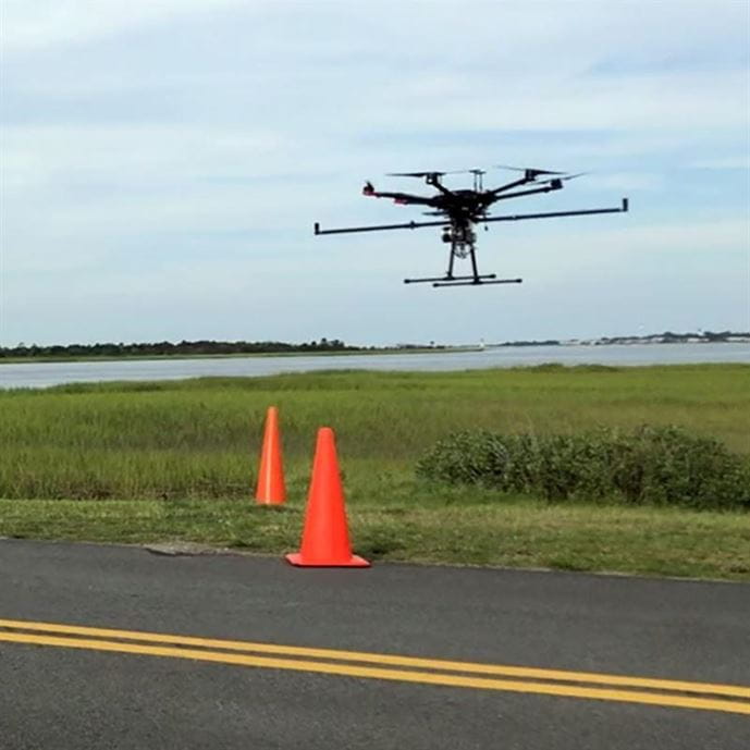
The use of drones equipped with lightweight sensors and powerful photogrammetry software is changing approaches to data collection and analysis for environmental sites. There are multiple sensors that can be mounted on drones that provide information on restoration sites. These sensors include multispectral, high resolution digital, LiDAR, thermal sensors, and hyperspectral sensors. Drones can provide views not otherwise possible (multispectral data) and allow for greater volumes of data collection than traditional field methods. Drones are not a one size fits all approach to data collection, but when paired with traditional methods, can go beyond traditional sampling schemes and unlock insights at multiple scales.
Multiple case studies will be presented on the use of drones and various sensors paired with machine learning models that are used to evaluate site topography and erosion, map and monitor native and invasive species, assess ecosystem health, and track restoration progress. Drones provide an opportunity to gain additional insights for site characteristics and allow for data collection on a much greater scale than traditional field work. By leveraging drone-derived data and machine learning, we can scale back the amount of traditional field data necessary while increasing the area of monitoring.
Presented by Brendan Brown, PWS, and Andrew Reicks, GISP, CFM
Moderated by Jackie Mosher , PE, PMP, BCEE
Don't have time to watch the full webinar or want to review the content? Read this recap article.


