Remote Sensing and Data Acquisition
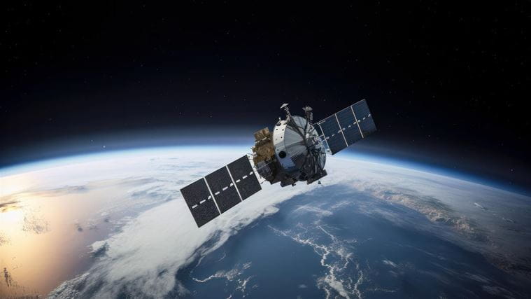
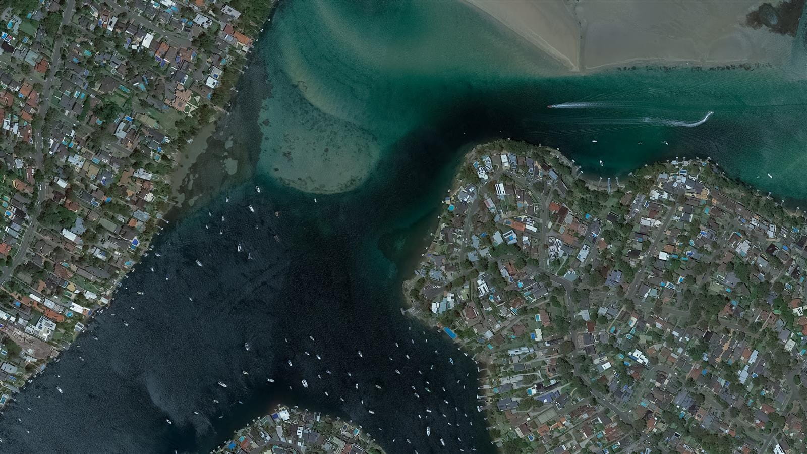
Whether you need aerial photography, LiDAR, satellite imagery, or other remote sensing techniques, we have the knowledge to provide you with the precise data you need to make informed decisions. Our services are designed to meet the specific needs of the project, and our team will work with you to ensure that you receive the most accurate and relevant data possible.
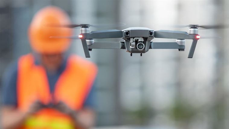
Let us assist you in leveraging the potential of remote sensing and drone technology to enable you to efficiently observe, manage and operate their environment, water and land.
Our specialist team members cover all areas from data acquisition to analysis, transforming raw data into information to develop system knowledge and actionable intelligence to better plan, prioritise and track projects, optimise operations, assess risks and forecast future performance.
Sky Wave by CDM Smith
CDM Smith's Sky Wave™ combines drone technology and artificial intelligence to track and analyse surface changes. Our multi-disciplined team can create a custom plan integrating data collection, analysis, and delivery to provide tech-based, data-centric solutions.
Across a digital pipeline, we fuse data collection, management, processing, analysis, and design, in an efficient digital pipeline to support informed conclusions and decision-making. Pick a part or combination of our digital pipeline process.


Benefits of Remote Sensing
Data Processing, Interpretation, and Analysis: Information acquired from remote sensing instruments is processed to be used across various applications.
Reduce Safety Risk: Retrieve a vast amount of data from diverse geographies, including remote and hard-to-access areas, with minimised risk.


Fast and Efficient: Reaching the last km and overcoming in-country commuting, delivery and distribution challenges.
Real-Time Engineering Aerial Data Inspections (READI) enable clients to complete tasks like mapping and environmental monitoring.

